Animated Worm Path
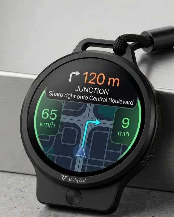
A simplified route line is the proposed display format. Its usefulness at complex junctions needs testing.
Motorcycle navigation, explained
Read practical guides to offline maps, phone connections, and handlebar displays. Explore V-NAV’s proposed approach to showing navigation directions on a separate screen.

Before choosing a device
A screen, a position fix, and a route are different parts of a navigation system. These guides help you work out what a setup can actually do.
Separate GPS, downloaded maps, destination search, and route recalculation. Includes a practical parked test.
02 · Choosing equipmentCompare phone mounts, companion displays, and standalone navigation. Check readability, power, and evidence.
03 · ConnectionsUnderstand the path from a location fix to a direction on screen, and diagnose where a connection fails.
V-NAV is a prototype currently in testing. Lite and Pro describe two intended configurations; the product is not final. The features below are design goals, not completed test results. Final hardware, compatibility, pricing, and availability have not been announced.
A proposed configuration focused on essential directions.
A proposed configuration exploring additional map and ride features.
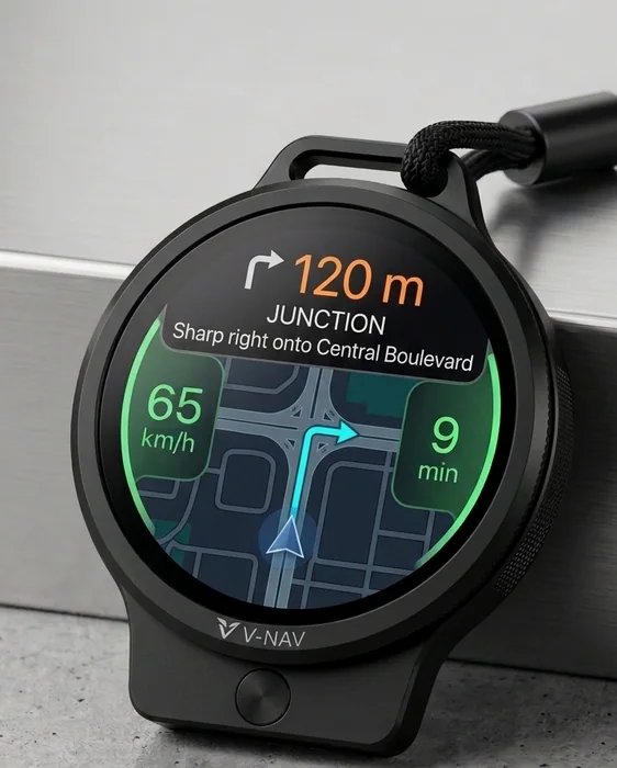
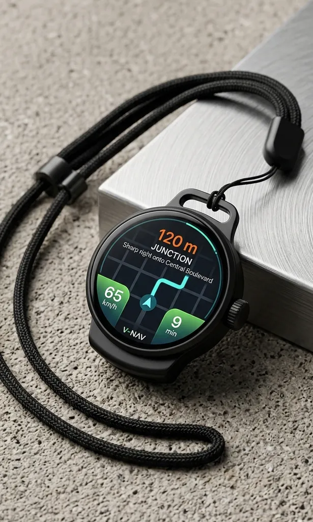
A separate display can present a smaller set of route cues than a full phone map. The trade-off is context: a simple arrow may not explain a complex junction. V-NAV’s intended design explores a route line and supporting information, while the phone supplies navigation data. Actual readability and routing behaviour need testing.
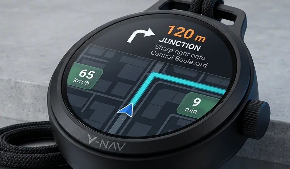
A useful motorcycle display needs a secure mount, readable directions, suitable power, and documented resistance to its intended environment. No weather-resistance rating, battery endurance result, heat test, or vibration test is published here for V-NAV. Check a finished device’s manual and test evidence before relying on a claim.
Plan the destination in a compatible phone app while parked. Supported apps and destination-sharing methods are still to be confirmed for V-NAV.
Review the proposed route before starting. Calculation speed depends on the app, available map data, device, and connection; no V-NAV timing is promised.
The intended connection uses Bluetooth. A Bluetooth connection alone does not provide GPS, maps, or offline routing. Screen-off operation and power use need separate testing.
The proposed display presents a route line and supporting directions. Follow signs and road conditions; stop in a safe place before adjusting the route.
A missed turn requires the phone app or device to calculate another route. Whether it can do that without internet depends on the routing system and downloaded data.
Ride history is a proposed feature. Available records, storage, and data controls will need to be documented before release.
A simplified route line is the proposed display format. Its usefulness at complex junctions needs testing.
A proposed closer view of a junction. Coverage and lane information depend on the map provider and implementation.
Recalculating after a missed turn is a design goal. Timing and offline behaviour are not yet specified.
Light and dark display themes are proposed. Readability in sunlight and at night must be assessed separately.
Offline maps are being explored for Pro. Stored map images alone do not guarantee offline search or route calculation.
Visual prompts and voice guidance are proposed. Audio output and compatible devices are to be confirmed.
A proposed simplified route display.
A closer junction view is being explored.
Missed-turn behaviour needs testing.
Light and dark themes are proposed.
Offline capabilities need confirmation.
Visual and audio guidance are proposed.
← Swipe to explore →
Join for project updates. For questions or privacy requests, email info@vnav.in.
No payment is collected. Joining is an expression of interest, not an order or a delivery promise.